Ep 1. A River Runs Through It
- TV-14
- May 3, 2011
- 40 min
-
8.0 (47)
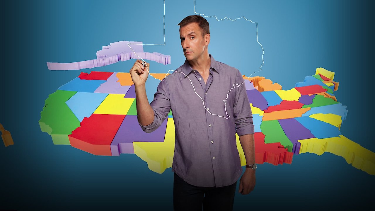
How The States Got Their Shapes is an American historical documentary television series that premiered on the History Channel. In season 1, episode 1, titled A River Runs Through It, viewers are taken on a journey through the history and geography behind America's state borders.
Hosted by Brian Unger, the episode begins by exploring the importance of rivers in shaping state boundaries. Unger explains that rivers were instrumental in the way that the United States was settled, and how state borders were formed as a result. The documentary delves deep into the intricate details of how the Mississippi River, for example, was a key player in creating many of the states between the Appalachian Mountains and the Rockies. The episode features several prominent rivers, including the Missouri River, Ohio River, and the Rio Grande.
As the episode progresses, viewers are introduced to a variety of experts in geography, history, and political science, who provide insights into the different factors that influenced the creation of state boundaries. Some of the experts interviewed include Frank Newport, the Editor-in-Chief of the Gallup Poll; Dr. Margaret Pearce, a geographer and environmental activist; and Dr. J. David Hacker, a historian who specializes in the American Civil War.
One of the highlights of the episode is seeing how state borders were created between the North and South during the Civil War era. It is explained how the war created a unique situation in which borders needed to be redrawn and new states needed to be added. The episode then examines how the influential Ohio River created a border between the Union states in the North and the Confederate states in the South.
A River Runs Through It also focuses on the concept of the 'water wars' that have taken place throughout the country's history. Water has long been a source of conflict between states, and the documentary explores this in great detail. The episode looks at the water disputes between Texas and Oklahoma, and how water rights ended up shaping the border between the two states.
Throughout the episode, viewers will see how different states have different shapes, sizes, and border placements. The documentary highlights how states were formed, whether through physical geography (such as rivers, mountains, or coastlines) or political factors (such as wars, treaties, or compromises).
Overall, How The States Got Their Shapes: A River Runs Through It is a fascinating look at the history behind America's state borders. The first episode of the series provides a broad overview of the different factors that influenced state shape and borders. Through stunning visuals and expert interviews, viewers are taken on a journey through the various conflicts, compromises, and events that helped shape our country into what it is today.
